- This event has passed.
Webinar! Mapping 101 with Maxar: How Geospatial Data Improves Planning and Implementation in Vector Control
May 14, 2020 @ 10:00 am - 11:30 am EDT
Presenters: Matt Hallas, Maxar and Solomon Wasse, PMI VectorLink Ethiopia
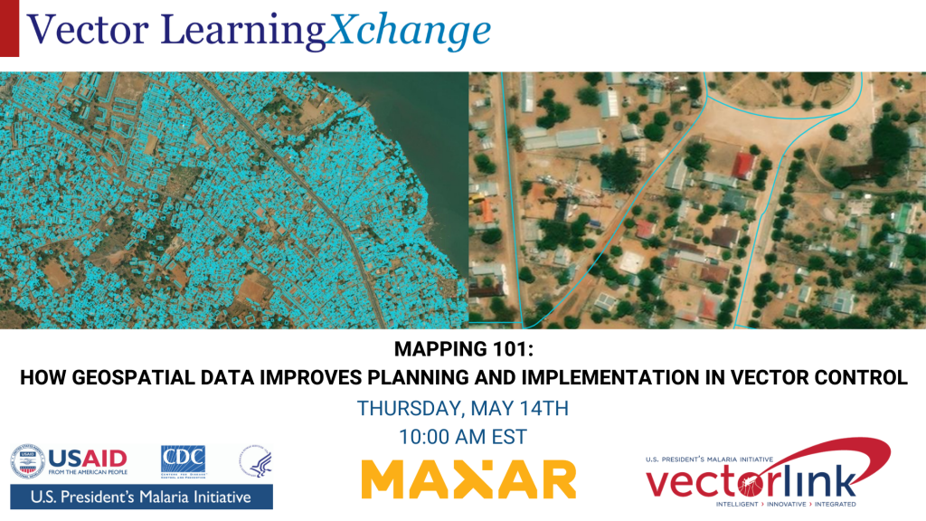
Matt Hallas from Maxar Technologies and Solomon Wasse from PMI VectorLink Ethiopia discuss the application of geospatial data for the purposes of improving the planning and implementation of vector control interventions. Satellite imagery and data derived from high-resolution imagery can be used to accurately map the distribution of populations, which is particularly beneficial in regions that historically have been unmapped. After quickly covering the basics of extracting information from satellite imagery, such as the extent of buildings and roads, Matt and Solomon will transition into several use cases that highlight the utility of high-resolution data. Using a geospatial dataset detailing all of the buildings in a country, our partners have helped us achieve significant reductions in operational costs due to time and resource savings. Matt and Solomon will walk through 2 distinct use cases where this data provided immediate value: 1) Planning and implementing an IRS campaign in Mozambique and, 2) using satellite imagery for enumeration activities for PMI VectorLink Ethiopia.
Join us Live
Thursday, May 14th at 10:00 AM EST.
